Captain’s Blog 6/20/2022
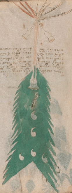
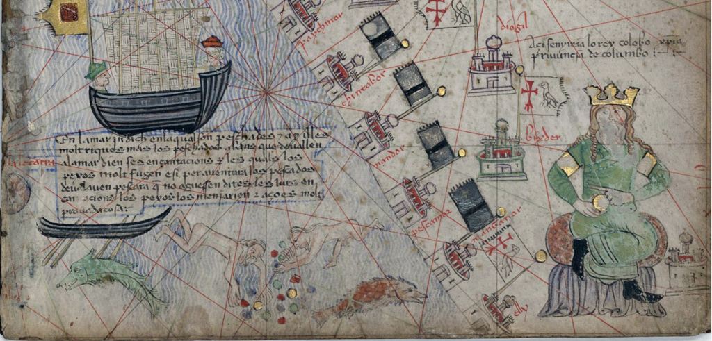
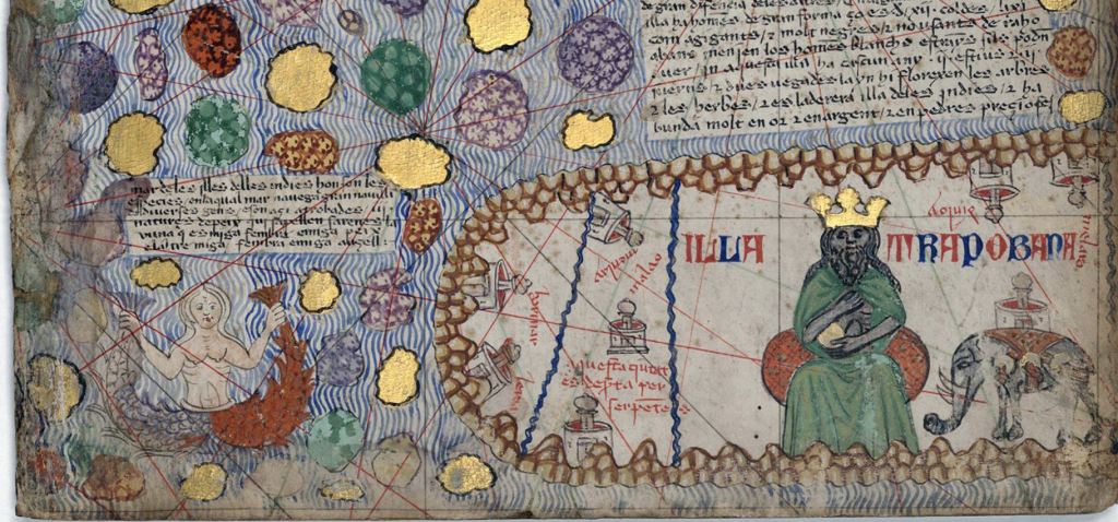
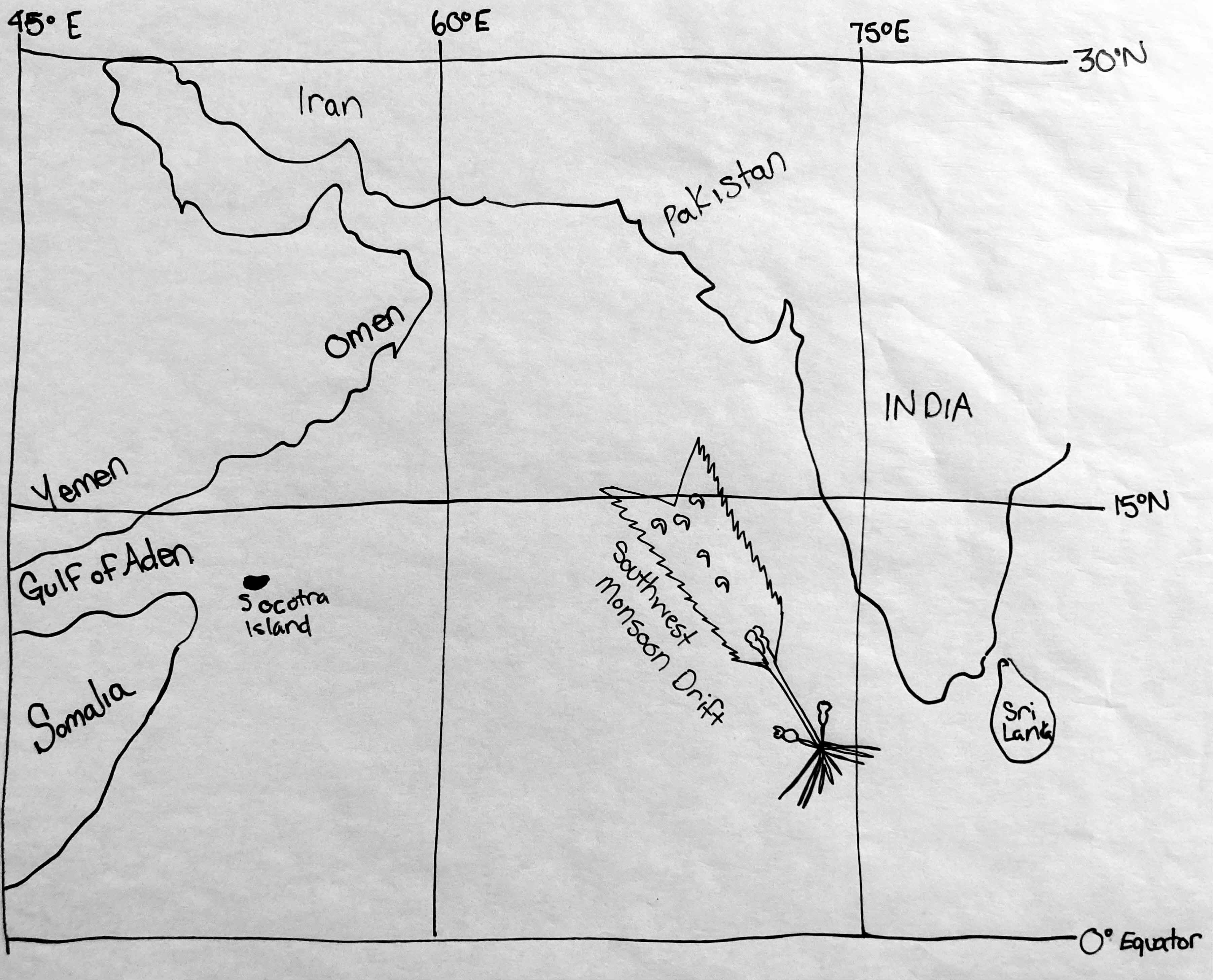
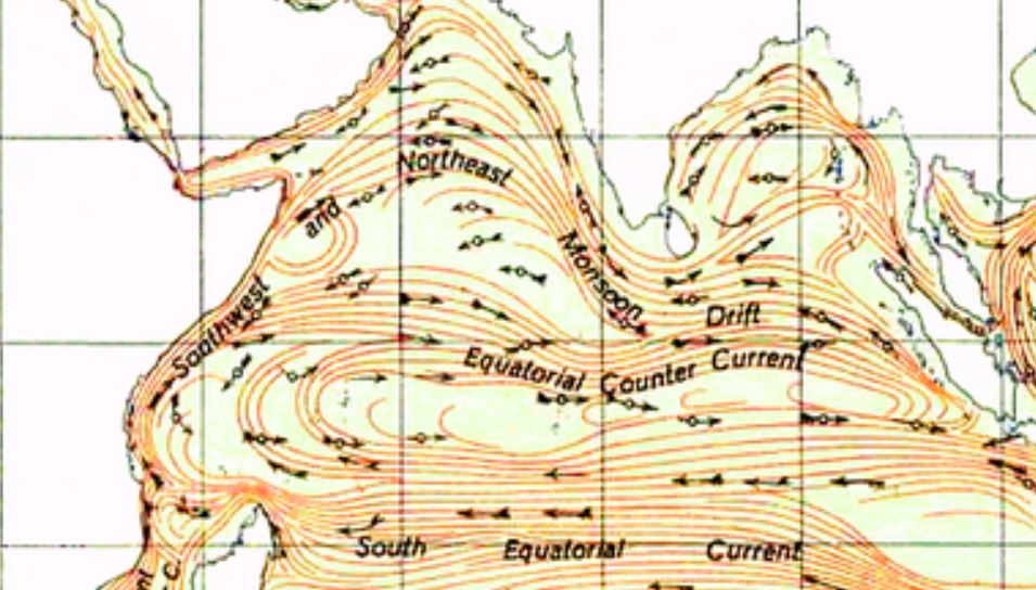
Recap of previous Folio 37, the map system was above the Maldives in the Arabian Sea. Folio 38-39 and translations is a continuation of the Monsoon Drift gyre heading into Sumatra. Keep in mind that the authors are expressing how they drew the maps and what they represent. Each folio is uniquely different with varying authors and varying Earth Sciences. It is also important to note that the maps in this particular blog post enter back into publicly known regions depicted in the Catalan Atlas. As the Catalan Atlas is the key to the Voynich Manuscript the following Folio’s do make references to the Atlas. For further translations of the Catalan Atlas: https://www.cresquesproject.net/catalan-atlas-legends/panel-vi

DATA:
Location: Lakshadweep Island System
Geolocation: 8°0’N/71°0’E
Ocean Currents/Gyre: Southwest Monsoon Current
Easter Eggs: Red depicts a warning. Going west of the current would push a boat back into Africa.
English Translation:
The lead authors encloses the atmospheric vorticity mark. The (land property law) corner recovery mark information is the atmospheric vorticity clock hand should have the ability and should go. It should go the flat area. I am hoping it discharges, it should go and is instrumental. The authors drawn, avoid pass through out. The descending out regards the sum of the measurement sequence. I am producing by means of the wind, knowledge area out. Go, there is a removed measurement that scrapes the authors wind measurement.
Voynicheese:
leier ue ula || eta uem etvei eia eta
etvia uesar || alem elom elom ulor
jeter etom || elom jetuei ue teter
aue t uia uut || ua ute re som som ra
etor uia tom || uer ule son uteisa
ave ve ter || som etea ue uer som